Mapping HIV/AIDS Services in Belize
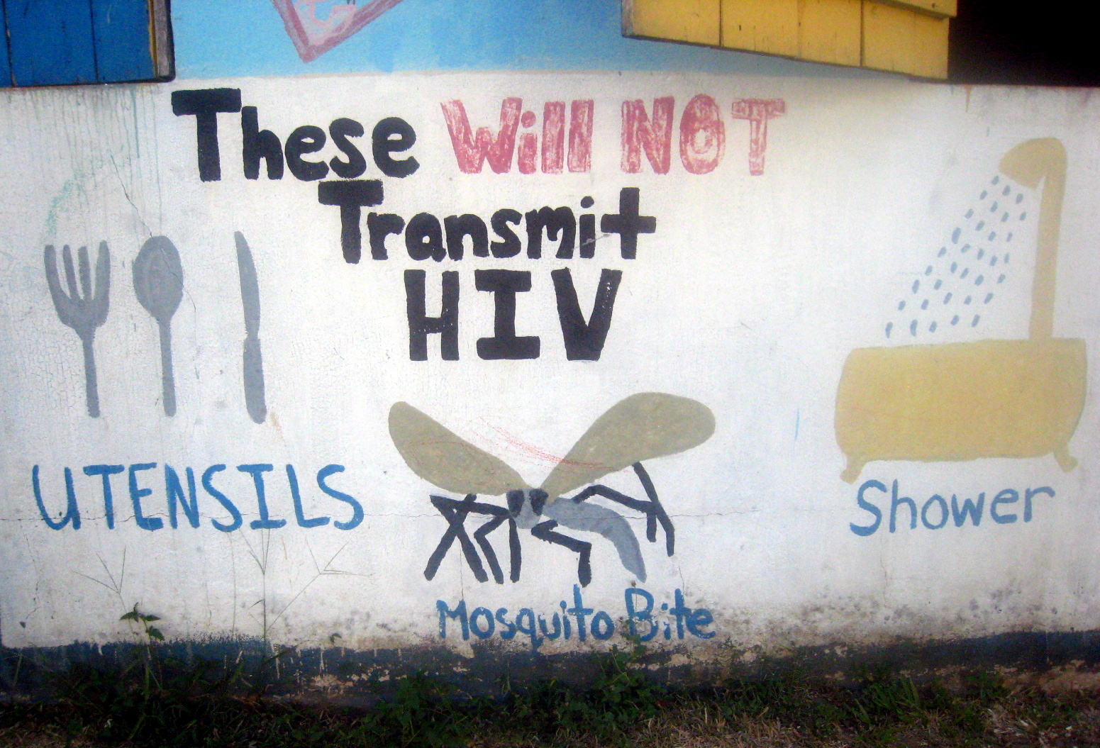
This week’s Social Shutter post highlights educational murals that GSU Sociology and Geosciences students Artis LangBruttig and Brittney Terry saw while on a trip to help the Cornerstone Foundation map social service and HIV/AIDS treatment locations so their clients can have one cohesive resource guide:

Check out these scholarly articles discussing the use of GIS/geospatial data for public health services:
- Dubowitz, T., Williams, M., Steiner, E., Weden, M., Miyashiro, L., Jacobson, D., & Lurie, N. (2011). Using geographic information systems to match local health needs with public health services and programs. American Journal Of Public Health, 101(9), 1664-1665.
- Elmore, K., Flanagan, B., Jones, N. F., & Heitgerd, J. L. (2010). Leveraging Geospatial Data, Technology, and Methods for Improving the Health of Communities: Priorities and Strategies from an Expert Panel Convened by the CDC. Journal Of Community Health, 35(2), 165-171.
- Gilliam, G., Hanchette, C. L., Fogarty, K. J., & Gibbs, D. A. (2008). A Geospatial Analysis of CDC-funded HIV Prevention Programs for African Americans in the United States. Journal Of Health Disparities Research & Practice, 2(2), 39-60.
- Kalipeni, E., & Zulu, L. (2008). Using GIS to Model and Forecast HIV/AIDS Rates in Africa, 1986-2010. Professional Geographer, 60(1), 33-53.
- Sheng, G., Mioc, D., Anton, F., Xiaolun, Y., & Coleman, D. J. (2008). Online GIS services for mapping and sharing disease information. International Journal Of Health Geographics, 71-12.