New Resource: PolicyMap
With the growing importance of geospatial technology and geographic datasets across all disciplines, the University Library is pleased to offer the Georgia State University community access to PolicyMap. PolicyMap is one of the largest collections of US public geodatasets and includes data from US agencies such as the US Census Department, Federal Bureau of Investigation, Internal Revenue Service, Bureau of Labor Statistics, Department of Health and Human Services, and much more. This large selection of data is accessible from one interface, can be downloaded, and easily mapped. And with PolicyMap’s online mapping feature, users can create custom regions (i.e. custom geographies) and can upload their own datasets.
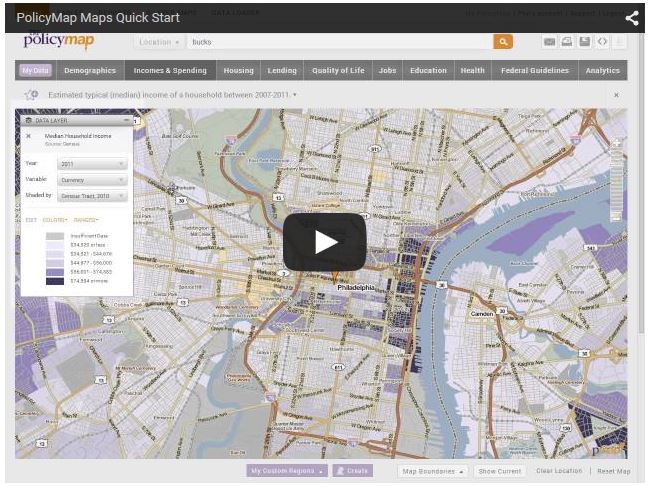
To learn more about this new resource, see the introduction video below or view the many tutorials available from PolicyMap.
- African American Studies
- Anthropology
- Applied Linguistics and ESL
- Business
- Communication
- Criminal Justice
- Databases
- Economics
- Education
- Educational Policy Studies
- For Faculty
- For Graduate Students
- For Students
- Geosciences
- Government Information
- Journalism
- Marketing
- New Resources
- Nursing
- Nutrition
- Political Science
- Psychology
- Public Health
- Public Management & Policy
- Real Estate
- Religious Studies
- Resources
- Risk Management & Insurance
- Social Work
- Sociology
- Women's, Gender, and Sexuality Studies
