Visualize Atlanta’s Past with Historical Atlanta Maps from GSU’s New “Planning Atlanta” Digital Collection
The Atlanta metropolitan region has witnessed dramatic change over the past 60 years. The construction of highways, numerous urban renewal projects, and expansive suburban growth are just a few examples of how Atlanta’s urban form changed during the second half of the twentieth century. With such far-reaching change, it can be difficult to picture the region before it became a sprawling metropolis.

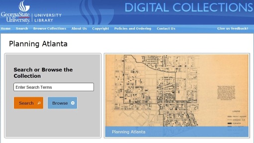
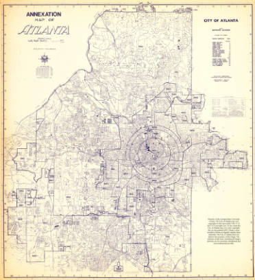
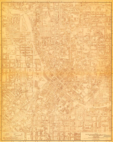
Fortunately, documentation of the Atlanta of the past exists, in part, in the numerous city planning maps and publications produced by the City of Atlanta and the Atlanta Regional Commission. These once overlooked items are finding renewed life in the form of a new Georgia State University Library digital collection, “Planning Atlanta: A New City in the Making, 1930s – 1990s.” This innovative digital collection currently provides access to about 130 maps, but many more will be added in the near future. Eventually, the Planning Atlanta collection will contain over 1500 Atlanta city planning maps and over 250 Atlanta city planning publications.
Developed as an interactive and dynamic collection, Planning Atlanta moves beyond the traditional digital collection and enables you to engage with each map as a Google Maps and Google Earth overlay. With this dynamic feature you can easily discern neighborhood and city-wide change over time by changing the transparency of a historical planning map and comparing it with contemporary satellite images.
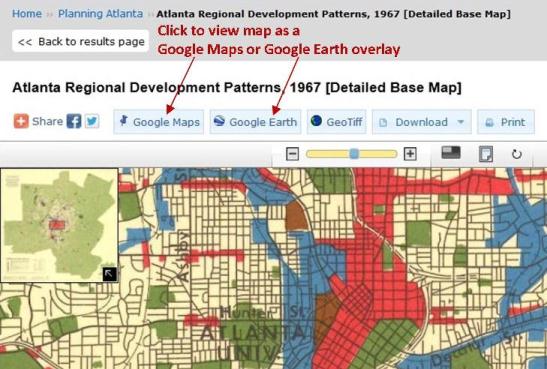
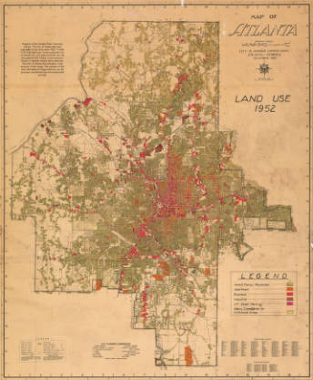
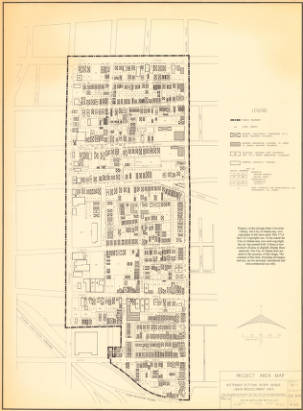
Explore Atlanta’s changing built environment with our beta “Planning Atlanta” site. Be sure to view the maps as overlays by clicking on the Google Maps or Google Earth overlay buttons. View several interesting maps that reveal extensive built environment change by clicking on the map images below.
|
|
|
|
|
|
- African American Studies
- Anthropology
- Art & Design
- Computer Information Systems
- Computer Science
- Digital Collections
- For Faculty
- For Graduate Students
- For Students
- General
- Geosciences
- Government Information
- History
- New Resources
- Political Science
- Primary Resources
- Public Management & Policy
- Sociology
- Special Collections & Archives