New Digital Collection: Works Progress Administration Maps of Atlanta
Digital Library Services is pleased to announce a newly published digital collection: the Works Progress Administration of Georgia Atlanta Maps. The collection contains over 950 maps from several map series documenting Atlanta in the late 1930s. These include the 1940 Report of the Real Property, Land Use, and Low Income Housing Area Survey of metropolitan Atlanta, a 1936-1938 Atlanta Cadastral Survey, and a partially incomplete series of Fulton County land use maps from 1937-1940.
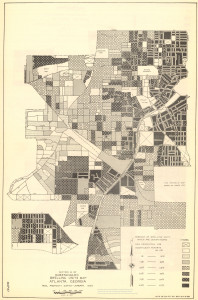
The 1940 Real Property Survey is highly detailed. Its maps include information about commercial and residential land use, conditions of housing structures, population density, demographic information about tenants, percentages of owner vs. renter occupation of property, and more.
The Atlanta Cadastral Survey is housed in the City of
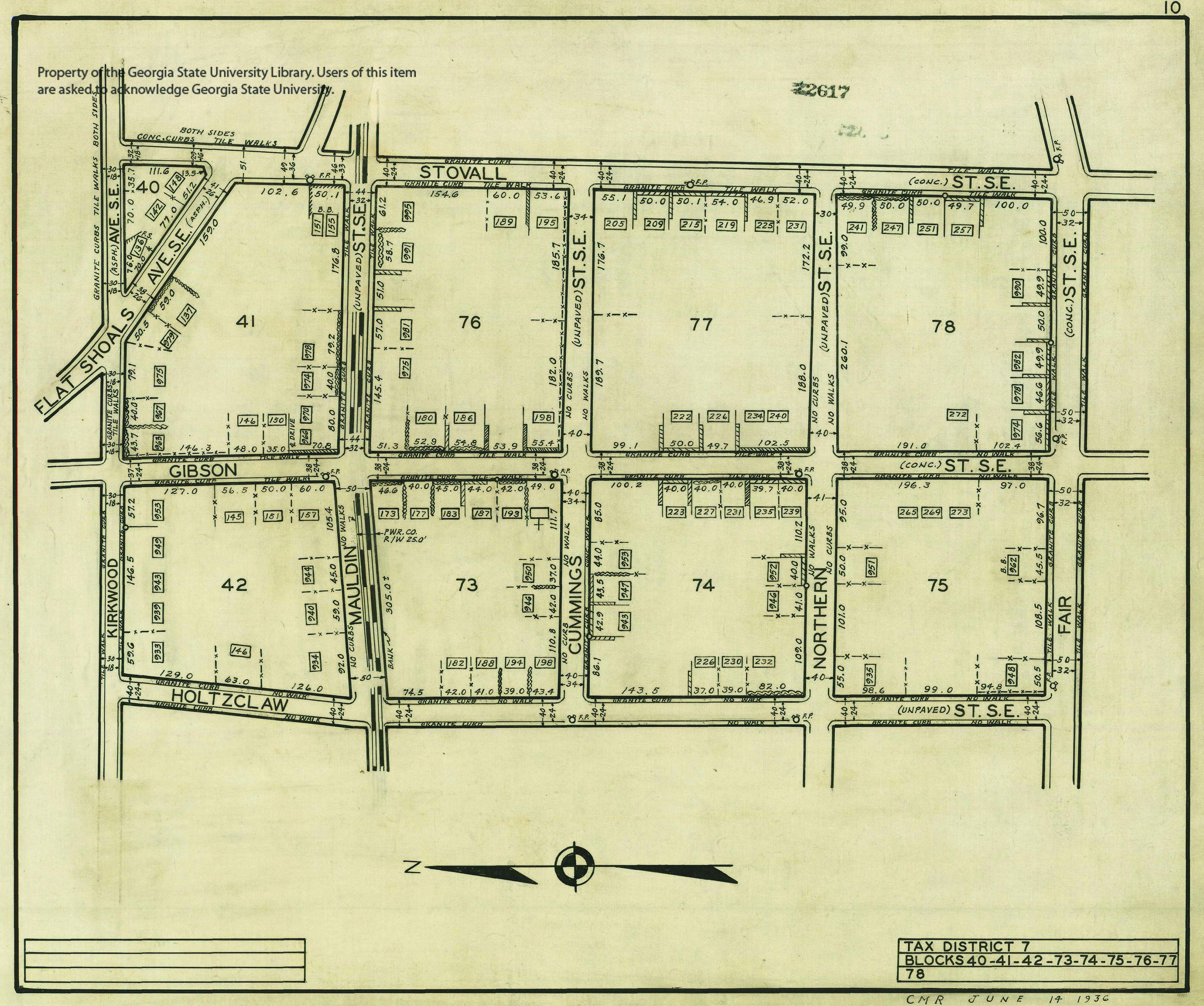
Atlanta Department of Watershed Management’s map collection, and was made publicly available through a partnership between the City of Atlanta Department of Watershed Management and Georgia State University Library. The maps from the Atlanta Cadastral Survey represent 16 tax districts within the city. The maps from each tax district are accompanied by an index sheet and a legend. These detailed maps portray built environment features such as width of streets, sidewalk material, undeveloped streets, and much more.
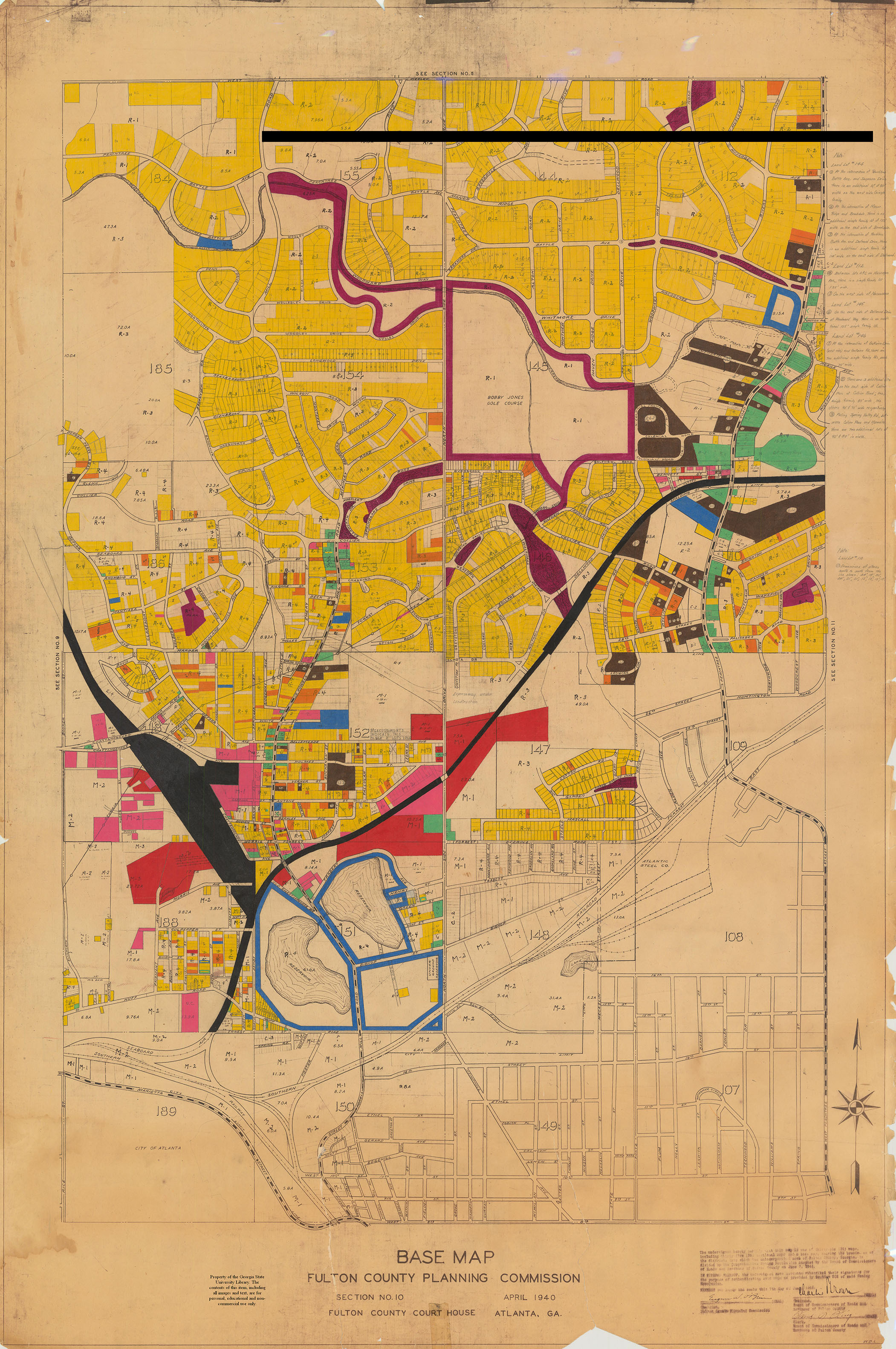
The Fulton County land use maps were created by the WPA and the Fulton County Planning Commission. All 21 of these maps have been georeferenced and can be viewed as map overlays. These hand colored maps depict land use across Fulton County. Unfortunately, there is no known index for these maps. So while the various colors represent different land uses, exactly what the land uses are will require some creative research. Many of these maps contain hand-written notes that provide more information about selected parcels.